

OverSite LLC offers Professional Land Surveying services including boundary resolution, boundary line adjustments, subdivisions, platting, mapping, modeling, remote sensing, and construction staking. Specializing in precision sUAS-acquired imaging we produce immersive, data rich content that will enhance any deliverable with detailed surface models and orthomosaic aerial imaging. Our goal is to meet the needs of our dynamic client base with efficiency and integrity.
OverSite, on point.
Services
At OverSite we pride ourselves on our ability to find unique solutions to your specific objectives, regardless of complexity or industry.

Boundary & Platting
Research. observation. resolution.
OverSite can help land developers, engineers, architects, and owners make smarter decisions based on proper boundary location and determinations. We provide professional services ranging from finding corners to major subdivision. We pride ourselves in our due diligence and level of effort in making sure we gather as much evidence as possible before making a determination. Land surveying has a rich history of integrity and high ethics, and I feel a responsibility to continue that legacy.

Mapping & Modeling
complete. accurate. emersive.
Design begins with a basemap. A digital twin of a built environment or raw land is one of the best ways to create that foundation for planning and design. Whether it be a traditional topographic survey utilizing our Robotic Total Station and GNSS receivers, or one of our remote sensing platforms, OverSite will deliver a product with all the information you need to make informed design decisions.
Equipment
Leveraging the latest technologies and equipment OverSite LLC provides consistent, accurate data.

WingtraOne GEN II w/PPK Sony RX1RII
efficiency. inovation. advanced.
WingtraOne PPK sets the new benchmark for drone survey equipment. Thanks to its design, a professional drone PPK GNSS L1/L2 receiver and high-quality mapping cameras, like the 42 MP full-frame Sony RX1RII, it is now possible to reach down to 1 cm (0.4 in) absolute accuracy with an aerial survey drone. The WingtraOne Gen II has been added to the US Defense Innovation Unit’s Blue sUAS Cleared List, marking it as one of the select, government-approved VTOL mapping drones for secure federal use.

Emlid Reach RS2/3 GNSS
robust. Dependable. repeatable.
Triple frequency, multi-constellation GNSS receiver.
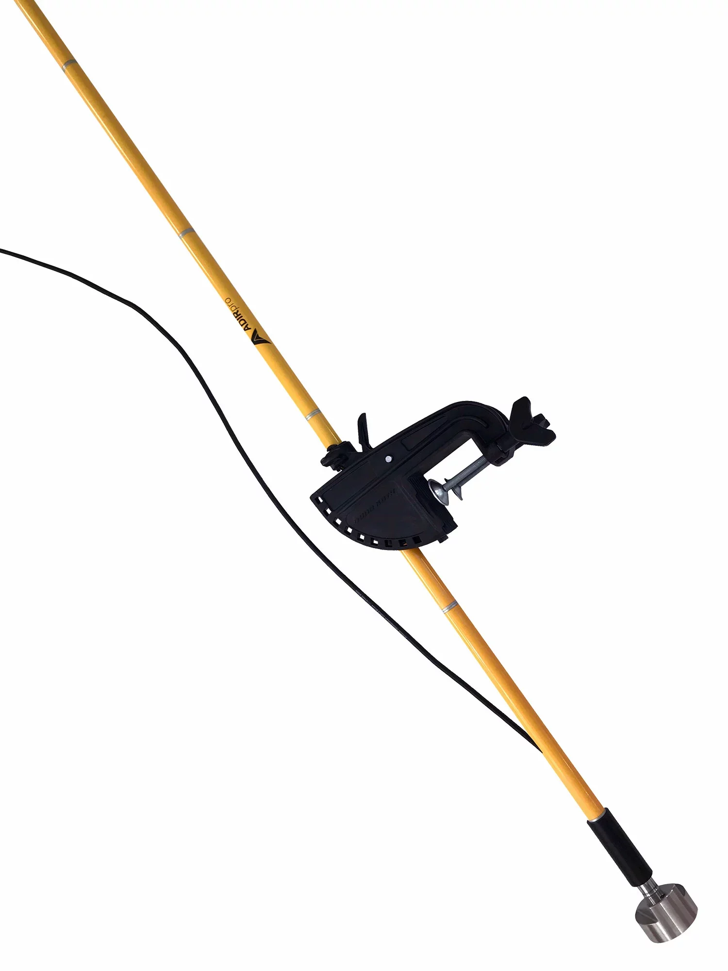
BL200 Single Beam Echo Sounder
precise. portable. bathymetric.
The BL200 Single Beam Echo Sounder is a survey-grade 200 kHz echosounder built for hydrographic surveys (depths of up to 328ft) — ideal for lakes, rivers, reservoirs, tailings ponds, bridge scour monitoring, and dredging quantity checks. OverSite LLC pairs the BL200 with modern survey control and positioning workflows to deliver clean, repeatable depth soundings and dependable bathymetric deliverables for engineering, inspection, and mapping needs. Accuracy (manufacturer-stated): cited as ~±1 cm per 10 m of depth

Topcon GT503 Robotics
Precision. accuracy. quality.
Robotic Total Station
Living it up in the Valley.
At OverSite we are family and community oriented, born and raised in the Wenatchee Valley, we couldn’t have chosen a better location for our headquarters.
OverSite is a Professional Land Surveying Firm in the State of Washington. We are also a drone services provider using FAA Part 107 certificated pilots and FAA registered drones.